Health & Fitness
The Historic Floods of 1902 and 1903: Looking Farther Afield.
Enlarging our view of historic events from focus on a single community to an entire region allows us to develop useful comparisons with our present predicament and insight into our future prospects.


By Kevin Wright©2011
Since I have done considerable historical research on northern New Jersey, I thought it might be interesting to enlarge our perspective beyond Bergen County and look farther afield for additional insights into the meteorological and astronomical conditions that contributed to widespread devastation throughout the region during the historic floods of February 1902 and October 1903.
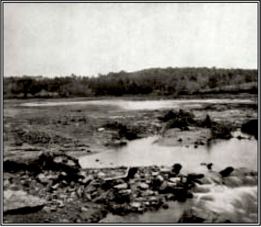
According to reports in Sussex County newspapers, six and a third inches of rain and twenty-three inches of snow fell upon northwestern New Jersey during February 1902. At month’s end, two days of warm sunshine ablated big snow banks, sending meltwater rushing down mountains and hills. The moon was full on February 22, 1902. On Friday morning, February 28, 1902, it began to rain, sending already swollen creeks over their banks. Heavy black clouds gathered at three o’clock in the afternoon, followed by peels of thunder and flashes of lightning. Suddenly the sky opened and torrential rain began to fall, causing widespread destruction. Older residents residing along the Paulinskill, Wallkill, Pequest and Musconetcong Creeks said, “that they never knew these streams to be so high, the meadows covered with such a depth of water, or the destruction of property as great.” Farmers were unable to reach creameries and railroad depots and numerous washouts stalled trains. Floodwaters wrecked and carried away stone and iron bridges. By Saturday night, the strain began to burst dams on lakes and millponds, sending an immense volume of water rushing with fearful velocity down the streams and over the meadows, carrying away everything in its path. The bed of the Sussex Railroad across the Paulinskill Meadows between Newton and Lafayette vanished under eighteen inches of water. On the same line, one thousand feet of track washed out between Strader’s Crossing and Augusta when an embankment gave way, releasing a roaring flood of water from the drowned meadows. The Waterloo dam burst, washing out the grist and sawmills. The Delaware River reached an unusual height, owing to lodgments of ice blocking the Water Gap and other narrows and bends in the stream. Floods also caused great loss of property in the Lehigh valley of Pennsylvania, closing the western end of the Morris Canal. Thereafter, boats only occasionally navigated the canal, running short hauls when necessary. The canal was allowed to run down until it reached a state of irreversible dilapidation.
Find out what's happening in River Dellwith free, real-time updates from Patch.
Several lives were lost and many families were left homeless throughout New Jersey. At Paterson and Passaic, the deluge inundated dye-works, a shirtwaist factory and several silk mills. The Passaic River peaked twelve feet above the high-water mark in Paterson—or more than a foot above the freshet of 1882—effectively cutting the city in half. Between the Spruce Street hill and Straight Street, floodwaters submerged buildings up to the second story for two blocks north and five blocks south of the river, causing 600 families to flee in boats and barges. Those who refused boat rescue were supplied with food and other necessities. Unable to find shelter with friends or family, about 110 homeless families took refuge in the Fifth Regiment Armory. Seven feet of water supposedly drowned what is now Ryle Avenue, Temple Street, Main Street, Washington Street (reaching within four blocks of City Hall), Godwin Street, Bridge Street, Paterson Street, Fulton Street, Lawrence Street, Montgomery Street, Jasper Street, and Hamilton Street. As much as three feet of water covered Watson, East Holsman, Bergen, Hillman and North First Streets between the Passaic River and East Main Street. Gas lighting throughout the city was lost for several days as water invaded the Paterson Gas Company plant at the corner of River and East Fifth Streets. Paterson Mayor John Hinchcliffe was vacationing in Cuba when the storm struck.
One brave rescuer in Paterson—40-year-old carpenter, Henry Richards, of Franklin Street—lost his life, trying to assist others. After several successful trips, carrying people from flooded homes on Shady Street, his boat upset. He desperately clung to a tree branch for nearly half an hour in a mill raceway, but when repeated attempts to save him failed, he finally disappeared beneath the muddy waters. Another man was drowned when a farmer foolishly attempted to drive his wagon and team through a foot of water covering the Weasel Bridge between Bergen County and Paterson. When a horse stepped over the side, pulling the wagon into the raging torrent, the farmer was able to jump clear and cling to the bridge, but another man on the wagon drowned. According to report in the New York Times on March 5, 1902, about 60 families from flooded neighborhoods in Wallington were “cooped up in the schoolhouse and [fire] engine house. Food supplies, clothing, and household furniture throughout the town have been washed away or destroyed.”
Find out what's happening in River Dellwith free, real-time updates from Patch.
A year and a half later, another deluge fell upon the land. The moon was full on October 6, 1903. It started raining the following day and continued for nearly three days. By the time the sky cleared, a record 9.24 inches had descended upon Newton and vicinity. Though the land was dried by drought, it could not absorb the enormous quantity of water. The whole of northern New Jersey suffered. The flood exceeded that of February 1902, caused more by snowmelt than by the greatness of rainfall. The worst damage occurred along small streams and big rivers, suddenly swollen by heavy rains; inundation and the bursting of dams were the natural consequences. Although a mighty torrent rolled down Sparta Glen, the Morris Lake dam held solid and Newton’s water supply was not lost. The Wallkill flooded lowlands between Franklin and Hamburg to a depth of three feet or more. The Wallkill meadows became a vast lake. Young cattle at pasture in the vicinity of Lafayette were saved from the rising Paulinskill on rafts made of wagon bodies. Water covered the first floor of the hotel at Blairstown. A washout in the deep side cut between Andover station and the Lehigh & Hudson crossing (near the present intersection of Limecrest Road and Route 206) temporarily disabled the Sussex Railroad. Floodwaters also damaged the high embankment on the Whitehall grade and the one between Cranberry Lake and the foot of Allamuchy Mountain. High water between Augusta and Branchville obstructed trains.
Water stood four feet deep in the streets of Portland, Pennsylvania. As the torrent rolled toward the Delaware Water Gap, it carried thousands of shocks of corn, pumpkins and outbuildings. Reinhardt Brothers, who cultivated the low-lying river flats, lost most of their vegetable crop. The Delaware River at Dingmans was six feet higher than ever before known, but the new bridge, built higher than the old one, withstood the pressure. The old stone house at Dingmans, built in 1808 with walls three feet thick, settled two inches. A great hole was washed out of the embankment on the Jersey side of the Susquehanna Railroad Bridge at the Water Gap. Water flowed through the second story of the Water Gap station of the Delaware, Lackawanna & Western Railroad.
The breaking of the large dam at Pompton was one of the chief causes of the flood in the Passaic valley. According to Marshall Ora Leighton’s The Passaic Flood of 1903, “The damage at Pompton Lakes was especially severe. During the early part of the flood the timber dam of the Ludlum Steel and Iron Company, which raised the water to a height of 27 feet, and afforded 7.04 horsepower per footfall, was carried away with a part of the headrace. This sudden emptying of Pompton Lake, an expanse of 196 acres was extremely destructive to Pompton Plains, and the destruction of the dams above on the Ramapo River, which followed some time after the bursting of the lower dam, refilled Pompton Lake above its former level, and caused greater damage than that which resulted from the failure of Pompton dam itself….”
Property losses at Paterson were estimated at $3,000,000. At least 3,500 men were put out of work and hundreds of families were left homeless. Owing to the flood of water pouring down the side of Garret Rock, it was necessary to cut the Morris Canal (which ran along the slope of Garret Mountain about where Route 80 now passes) in four places. Business on the canal was suspended owing to the impossibility of completing repairs before winter. Consequently, canal boats disposed of their coal cargoes at the most available points.
Severe back-to back flooding produced an outcry for flood control. To resolve flooding in the Passaic Valley, state geologist and engineer, Cornelius C. Vermeule, of East Orange, suggested building an earthen dam, 2,400 feet long and 80 feet high, at Mountain View at a cost (in 1903 dollars) of $3,340,000. He indicated, “The entire flow from this watershed may be stored by building a dam across the gap at Mountain View and converting Pompton Plains into a great lake covering an area of 21 square miles… By raising our reservoir to 240 feet when full we secure a capacity of 10,493,000,000 cubic feet, or ample to utilize the heaviest floods of the watershed. This gives a beautiful sheet of water 21.1 square miles in area, with bold, rocky shores, and a depth at dam of 72 feet.” As an alternative, he suggested reconstructing a dam across Pompton Lake, forming a continuous reservoir extending ten and a half miles to Hillburn, New York.
Because of the Wallington Bend, engineers recognized the Saddle River “increases very materially the damage caused by floods” in the Passaic valley. Suggesting the most effectual remedy was “construction of flood catchments,” they admitted, “no studies have been made of the situation in the Saddle River drainage area, but a superficial inspection of the basin shows that opportunities for the construction of flood-catchment reservoirs are not numerous.”
Marshall Ora Leighton’s The Passaic Flood of 1903, offered the following observations and general conclusions:
1. Great floods in the Passaic Basin arise only after a specially violent precipitation.
2. Under present conditions floods may be expected at frequent intervals.
3. A part of the damage along the lower valley is the result of encroachments on the part of individuals and public and private corporations.
4. The channel in the lower valley may be improved at certain points by straightening it and judiciously making cut-offs.
5. Without the construction of numerous levees the lower valley channel can not be made to carry great flood waters without damage.
6. Immunity from floods can be effected only by the construction of catchment reservoirs in the Highlands or levees in the lowlands.
7. Levee construction would involve more damage than is now caused by floods, and the cost thereof would be prohibitive.
8. Flood catchment reservoirs may be constructed economically and provide storage to compensate for the dry-season flow, thereby maintaining water power at Paterson, Passaic, and other points, and providing for municipal water supply in the future.


